
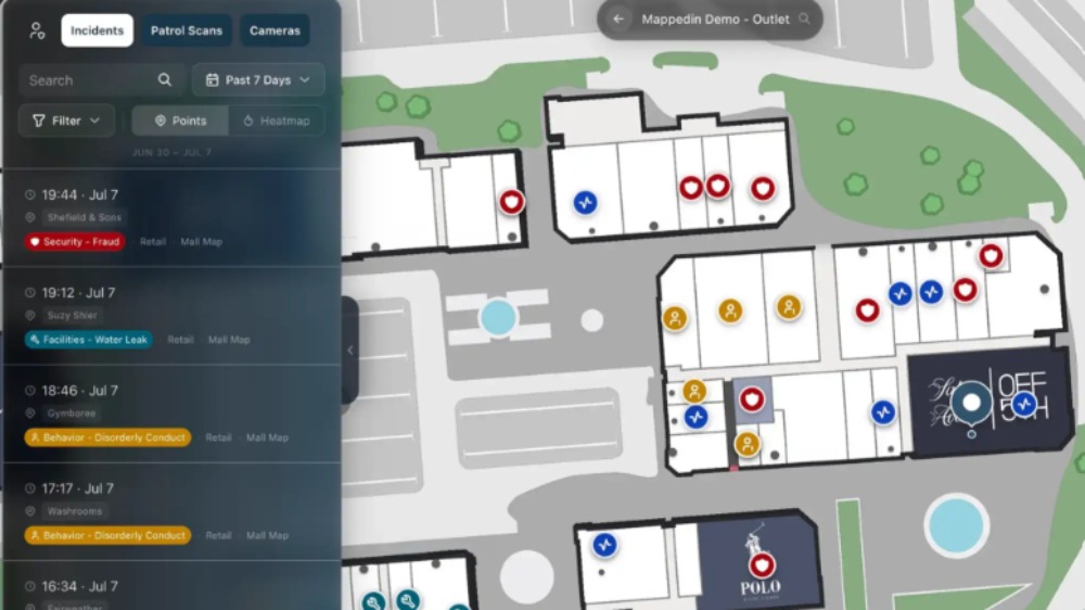
Richpix 360 has expanded its cartography and 3D digital twin capacity across North Yorkshire and the Northeast as an estimated 200,000 to 300,000 UK venues prepare for incoming compliance duties under Martyn’s Law.
The expansion follows 12 months of international and domestic deployments for the firm, with recent spatial projects ranging from major cultural institutions in New York to remote research environments in South Georgia, and spanning acute healthcare estates, hospitals, and national museums.
At the core of the service is Richpix 360’s high-precision 360-degree High Dynamic Range (HDR) imagery combined with interactive mapping.
By capturing high-fidelity visual and geometric data across demanding lighting conditions – from windowless service corridors and dark plant rooms to vast, sunlit atriums – Richpix 360 builds navigable 3D digital twins and metric indoor maps that translate physical structures into dependable operational intelligence.
While statutory compliance steps can be straightforward for smaller premises, operators of large, multi-level and complex venues face an immediate practical challenge: securing a reliable, up-to-date spatial understanding of their physical layout.
“With Martyn’s Law on the horizon, and compliance statutory in April next year hundreds of thousands of venues across the country are going to have to look at their spaces afresh,” said Barry Bassnett, Managing Director of Richpix 360.
“For a simple village hall, the process might be relatively straightforward, but for complex sites, shopping centres, and mixed-use estates, you cannot coordinate effective evacuation, lockdown, or security procedures if your spatial records are out of date.
Beyond statutory safety, Richpix 360’s 360 HDR spatial models serve multiple every-day operational and customer-facing roles:
“The real strength of our 360 HDR capture is versatility,” added Bassnett. “Whether we are documenting complex medical facilities, heritage museums, or retail destinations, the exact same spatial dataset you use for security audits and compliance can immediately become a customer wayfinding directory, an accessibility guide, and an interactive marketing tool.
“You capture the site once, and the data works for you across the entire estate.”
